Breakthrough in Land Cover Classification and Mapping Using Satellite Images
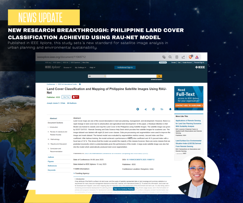
Exciting news has emerged from the academic community with the publication of a groundbreaking research paper titled “Land Cover Classification and Mapping of Philippine Satellite Images Using RAU-Net” by Mr. Joseph Jessie Oñate, a Core CCS Faculty member. This remarkable achievement showcases the potential of satellite images in advancing technology for a sustainable future.
The Research
The research paper presents a novel approach to land cover classification and mapping using satellite images from DOST DATOS. By developing a model that leverages the power of RAU-Net, Mr. Oñate achieved promising results in accurately classifying land cover types. This innovation has significant implications for various fields, including environmental monitoring, urban planning, and disaster risk reduction.
Key Highlights
- Publication: The research paper has been published in IEEE Xplore, a prestigious platform for technological advancements.
- Presentation: The paper was presented at the ICICI 2025 conference in Bangalore, India, a premier international conference on innovation and computing.
- Model Development: The RAU-Net model demonstrated exceptional performance in land cover classification, paving the way for future research and applications.
Implications and Future Directions
The successful publication and presentation of this research paper mark a significant milestone in the field of satellite image analysis. As technology continues to evolve, the potential applications of this research are vast, ranging from environmental sustainability to urban planning. Some potential future directions include:
- Integration with Other Technologies: Combining satellite image analysis with other technologies, such as IoT sensors or drones, could lead to more comprehensive and accurate monitoring systems.
- Expansion to Other Regions: Applying the RAU-Net model to satellite images from other regions could provide valuable insights into land cover dynamics and support global sustainability efforts.
Mr. Oñate’s achievement is a testament to the power of innovation and collaboration in driving technological advancements. As we move forward, it is essential to recognize the potential of satellite image analysis in shaping a more sustainable future. Congratulations to Mr. Oñate on this remarkable achievement, and we look forward to seeing the impact of his research in the years to come.
Read the Full Paper
Access the full research paper here: https://ieeexplore.ieee.org/document/11069712